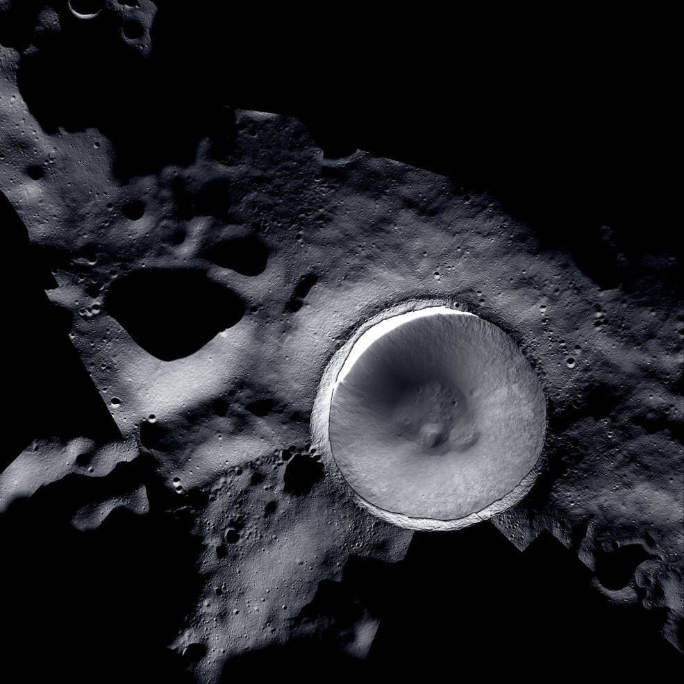
Shackleton rim · NASA / KARI / ASU
Amelia Space Technologies
Lunar resource intelligence
For space agencies, space companies, and researchers. Amelia fuses data from multiple lunar missions and instruments into one integrated platform so you can prospect, plan, and help build the lunar economy.
The space resource value chain
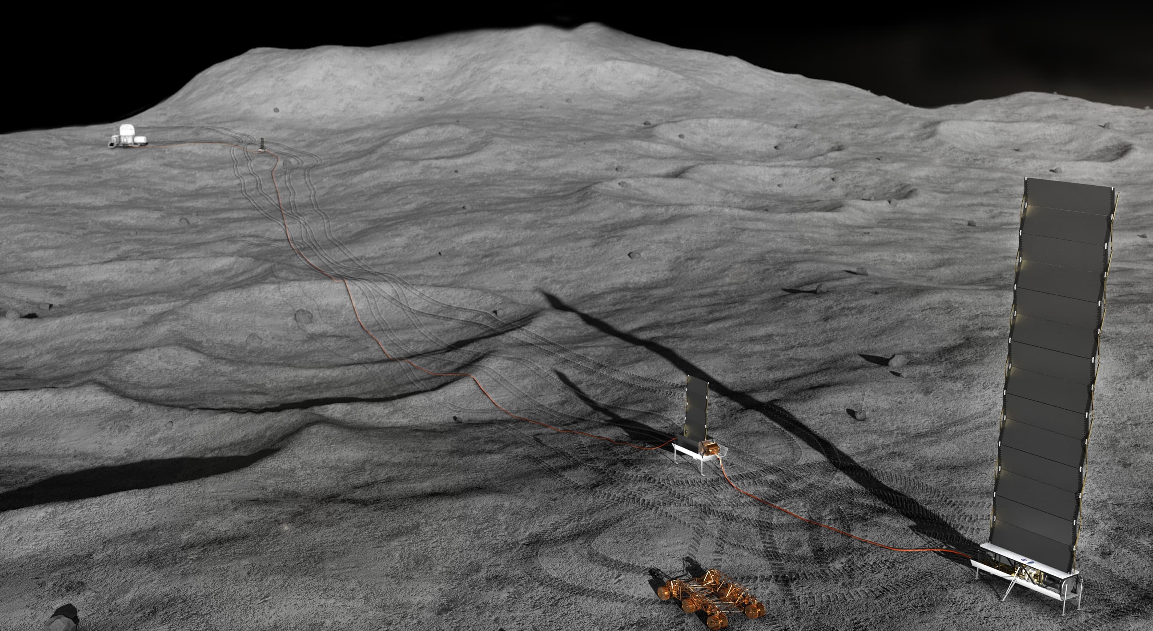
Where we are today: Prospecting & Exploration
Remote sensing, sampling, and data integration will drive the space resources industry from prospecting to utilisation. Amelia operates at the foundations of this chain, turning fragmented lunar data from multiple missions and instruments into integrated resource intelligence that de-risks and enables downstream activities.
Space Resource Value Chain
Data solutions
Raw regolith
Gaseous oxygen
Metals & alloys
Manufactured products
Liquid oxygen
Breathable oxygen
Remote sensing
In-situ measurements
Mining & excavation
Surface logistics
Processing & extraction
Manufacturing
Refuelling
- Support crew life
- Service & refurbish spacecraft
- Build & assemble infrastructure in space
- Support lunar operations
The lunar data integration challenge
300+ instruments collecting pieces of the Moon puzzle.
If only someone could put them together.
Higher resolution and more data will always help. But the core challenge is integrating and interpreting what we already have into a single, coherent picture. That is what the Planetary Intelligence Platform does.
Space Resources Professional Course 2026
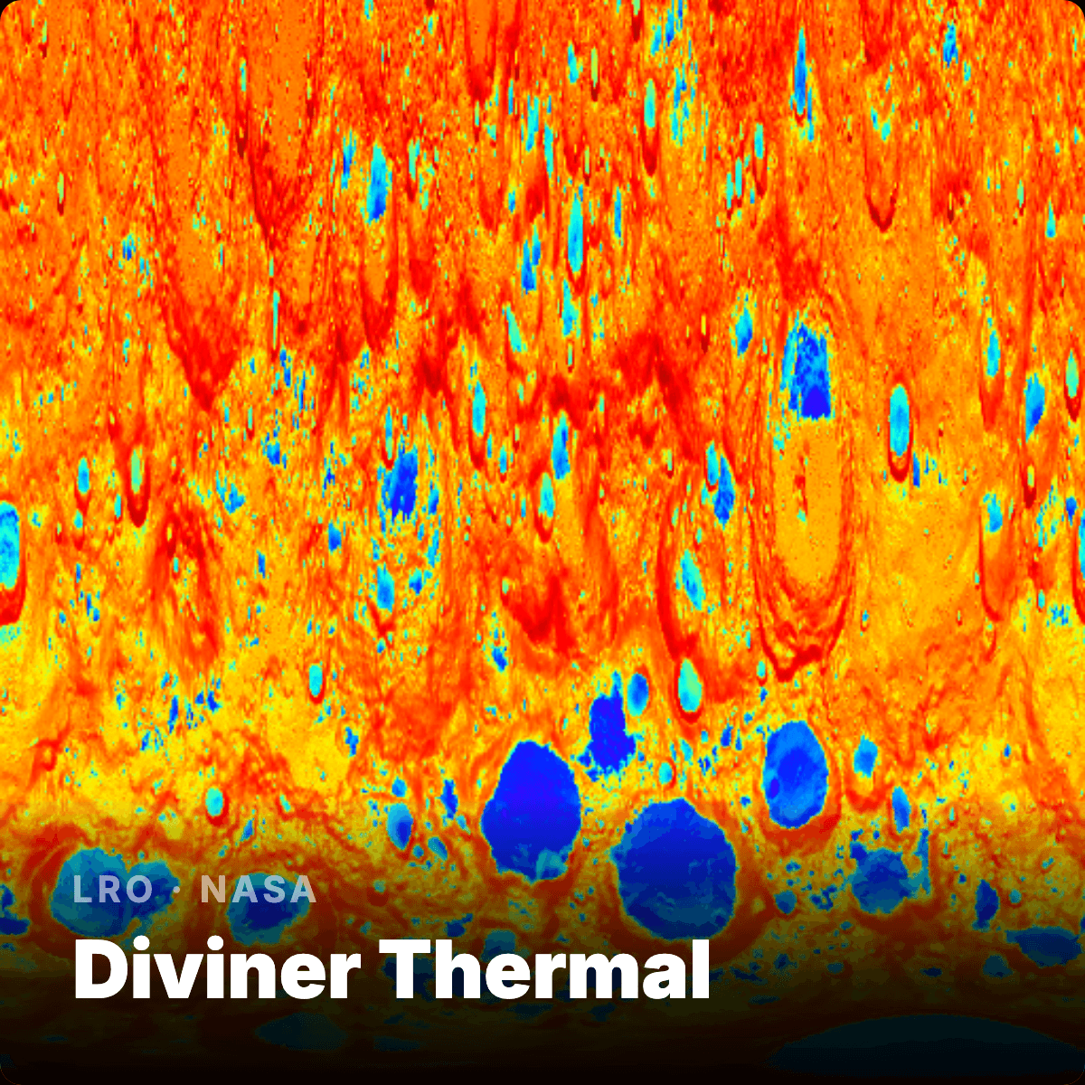
LRO · NASA
Diviner Thermal
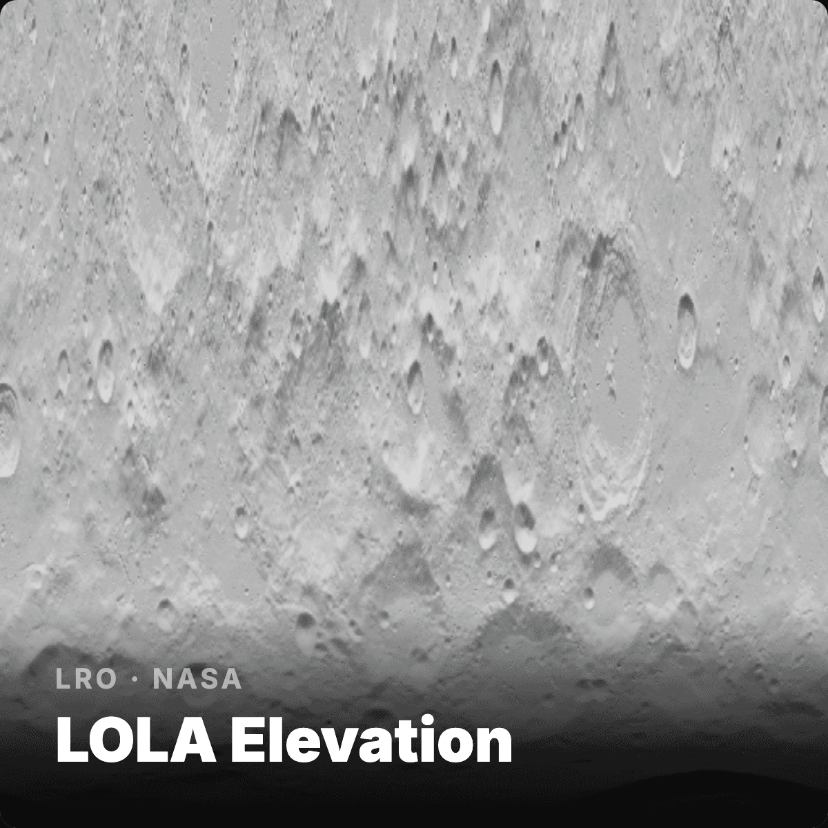
LRO · NASA
LOLA Elevation
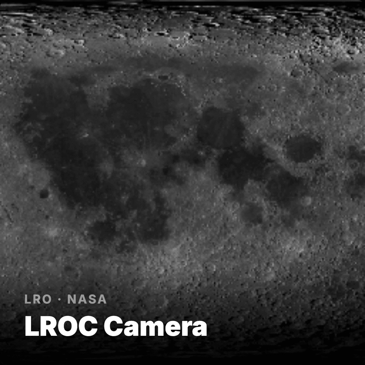
LRO · NASA
LROC Camera
LRO · NASA
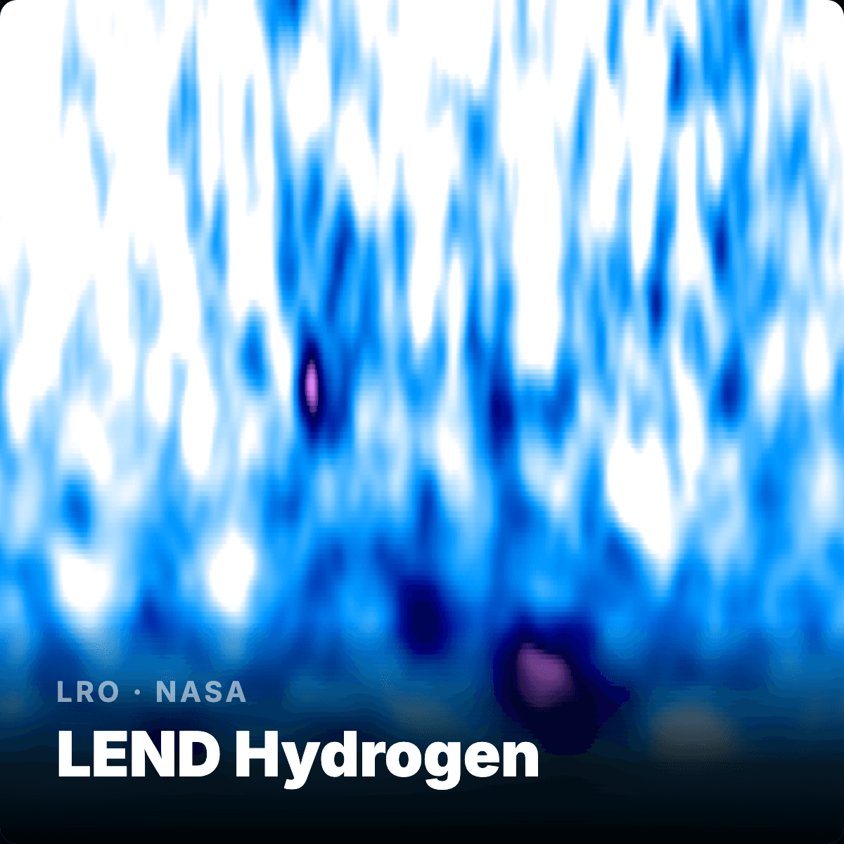
LEND Hydrogen
LRO · NASA
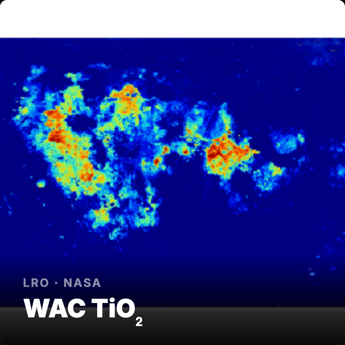
WAC TiO₂

LRO · NASA
Illumination
LRO · NASA
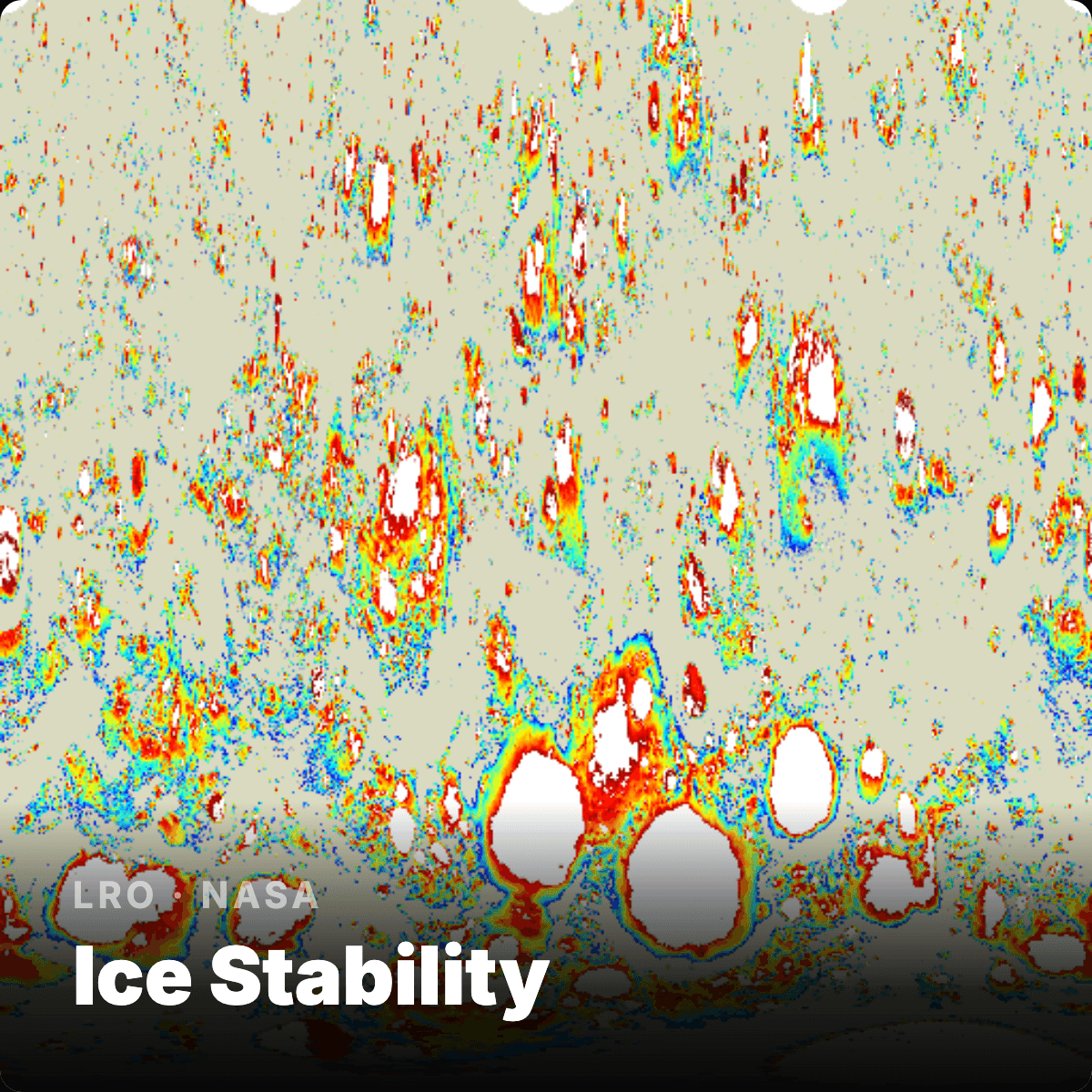
Ice Stability

GRAIL · NASA
Gravity
LRO · NASA
Shadowed Regions

M³ · NASA
Olivine
M³ · NASA
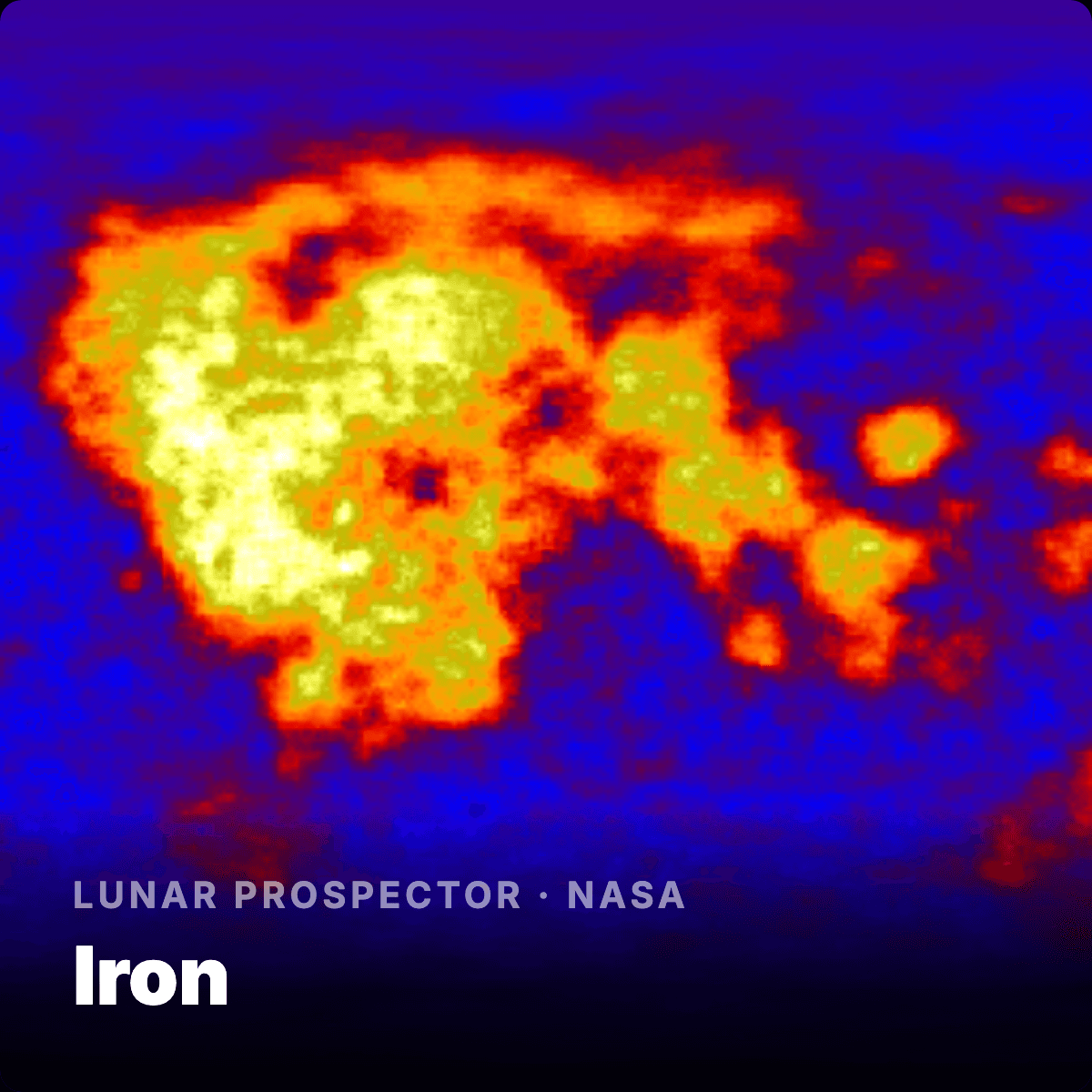
Iron (FeO)
LRO · NASA
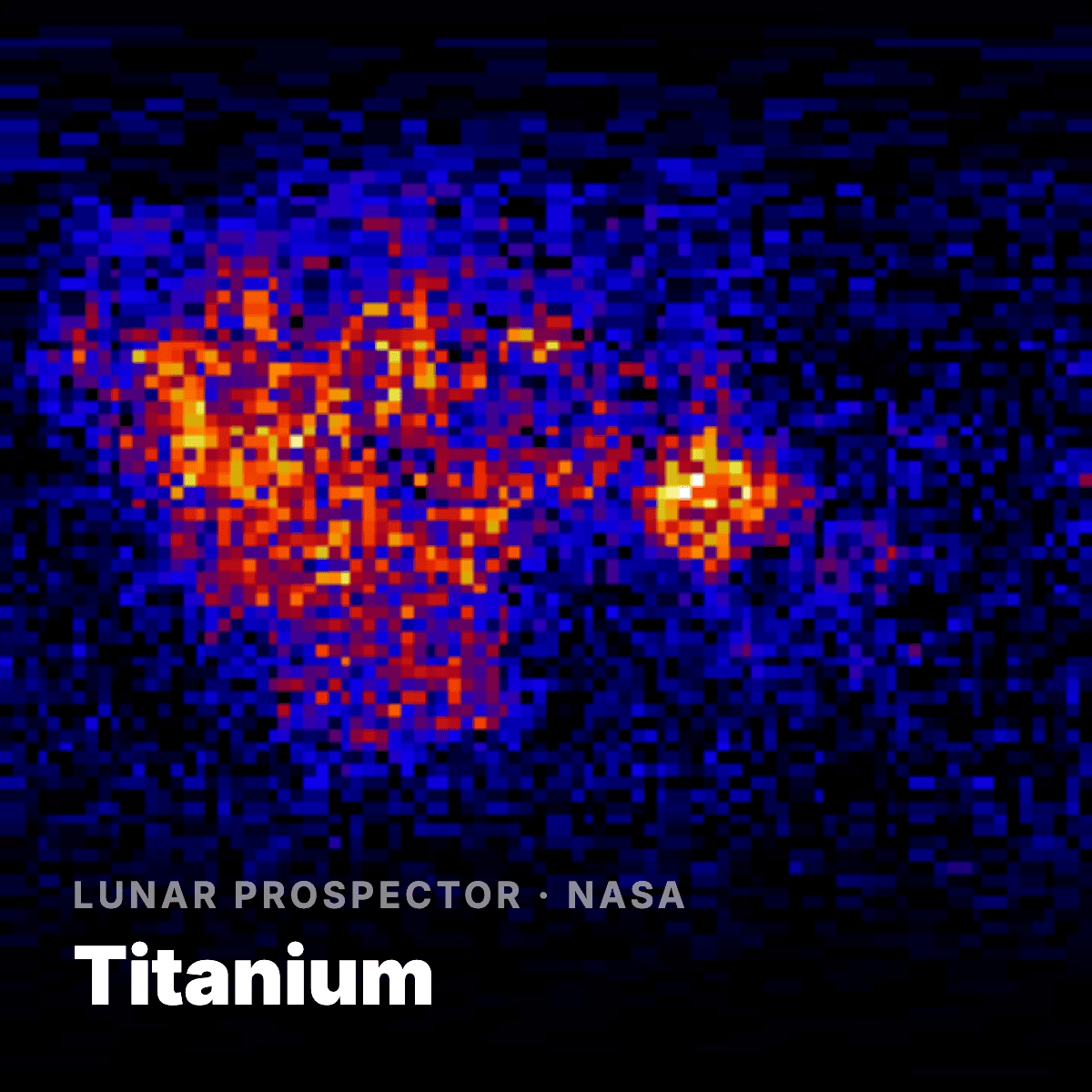
Titanium
LP · NASA
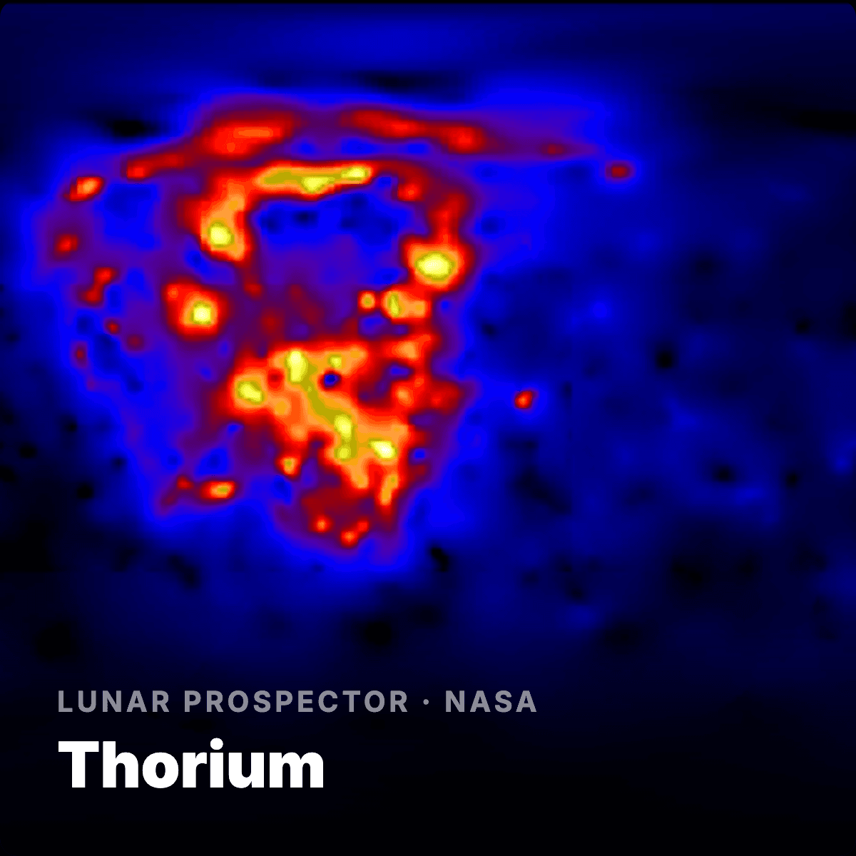
Thorium
KPLO · KASI
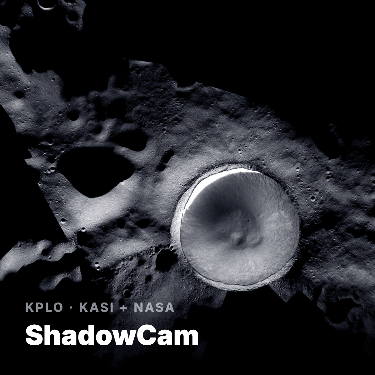
ShadowCam
M³ · NASA
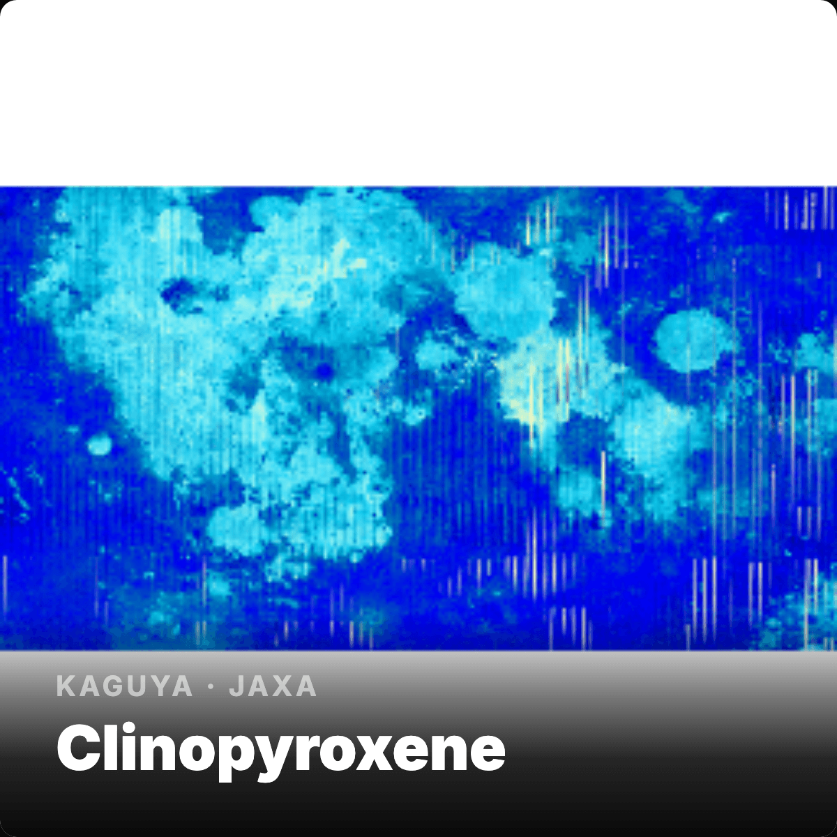
Clinopyroxene
M³ · NASA
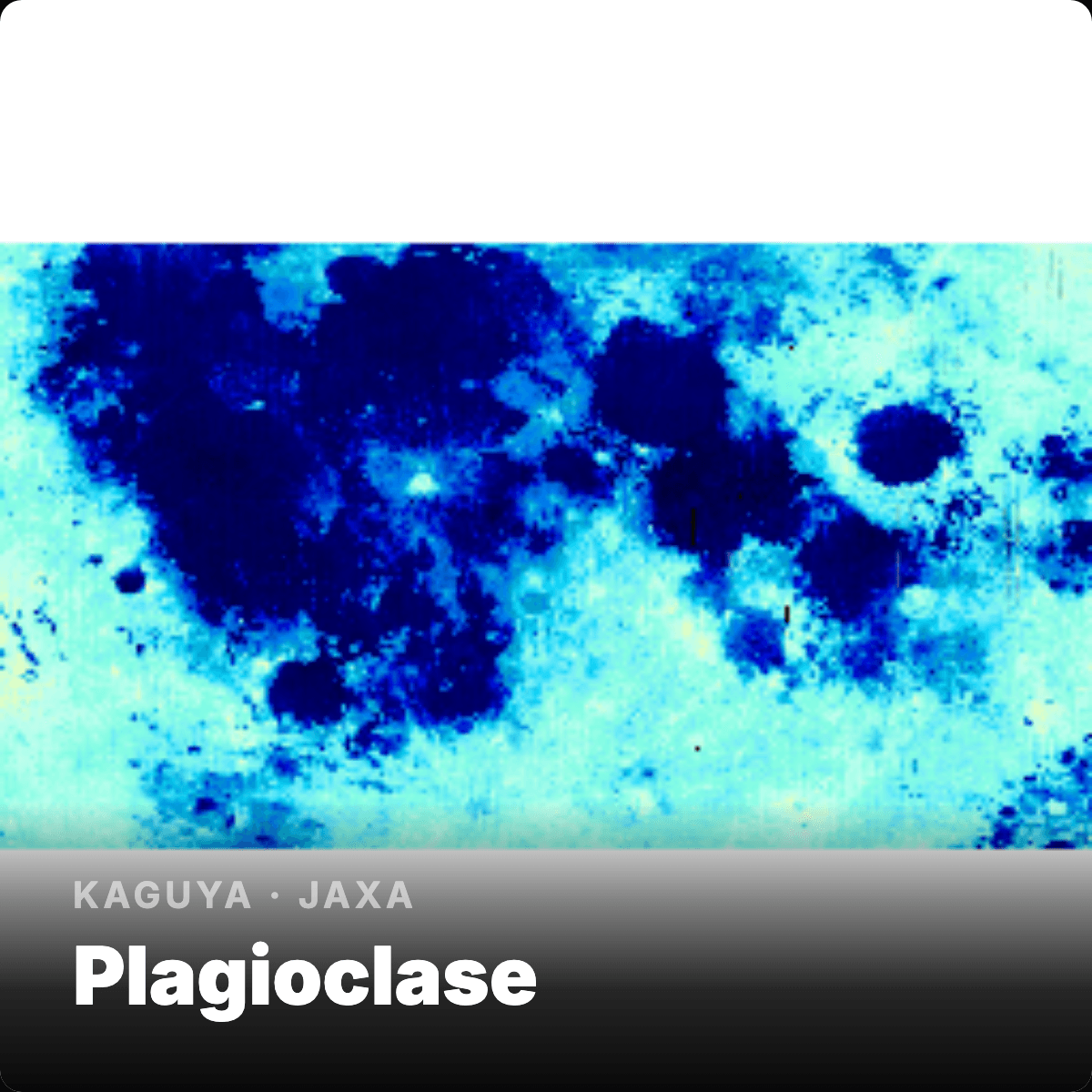
Plagioclase
LP · NASA
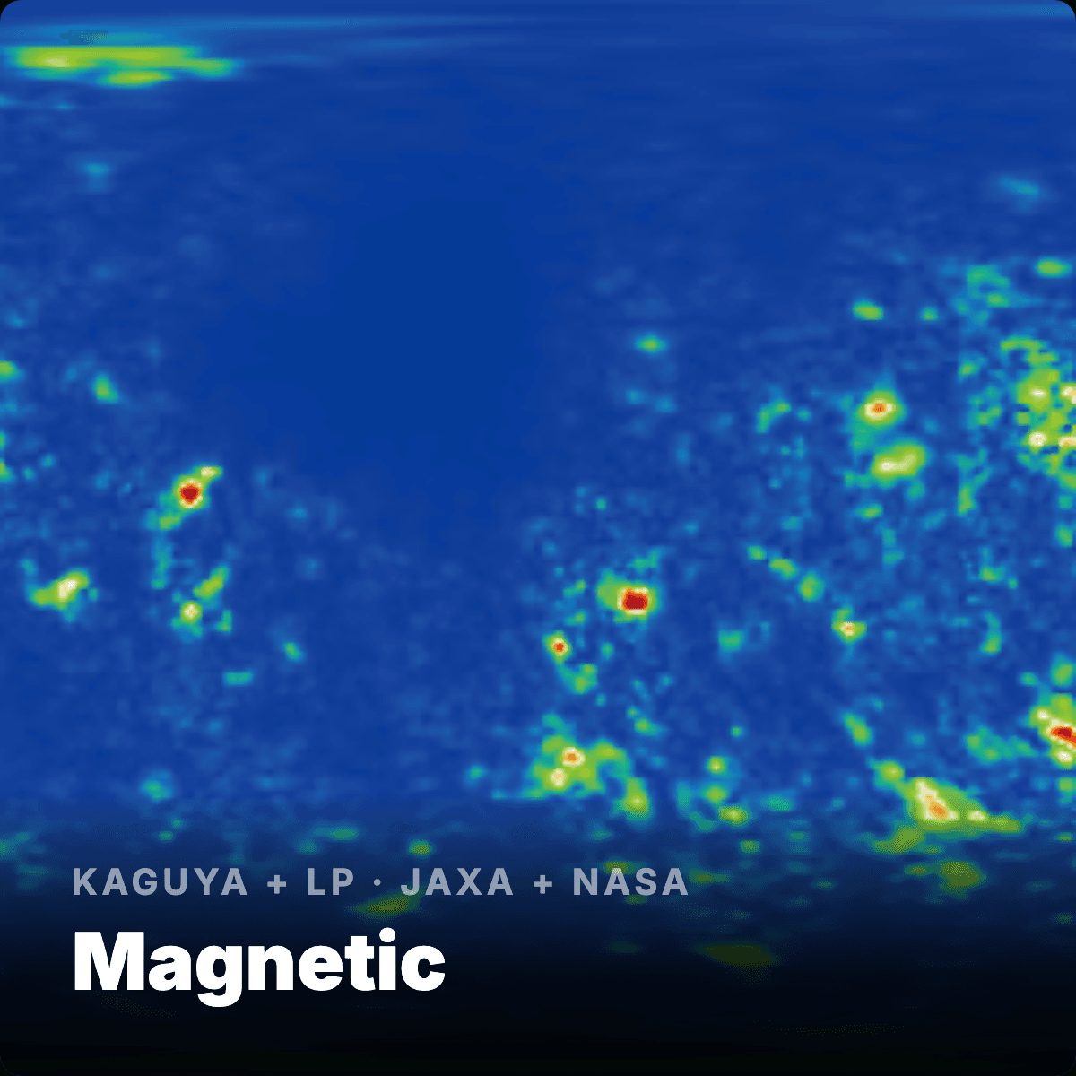
Magnetic Field
LRO · NASA
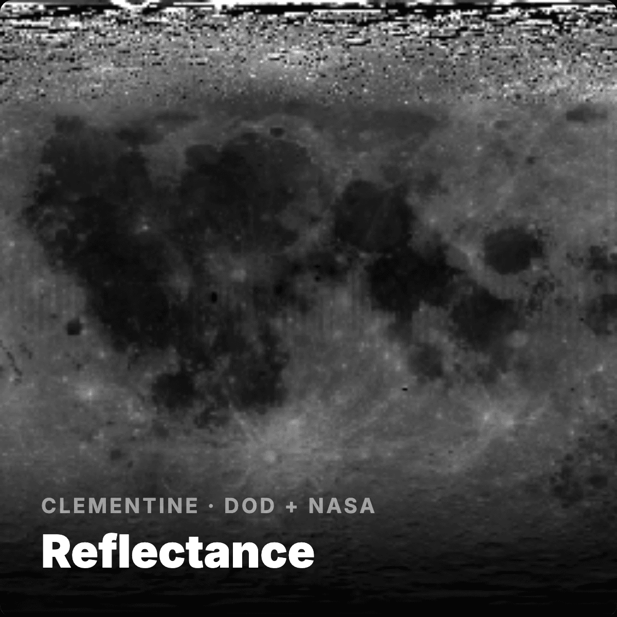
Reflectance
M³ · NASA
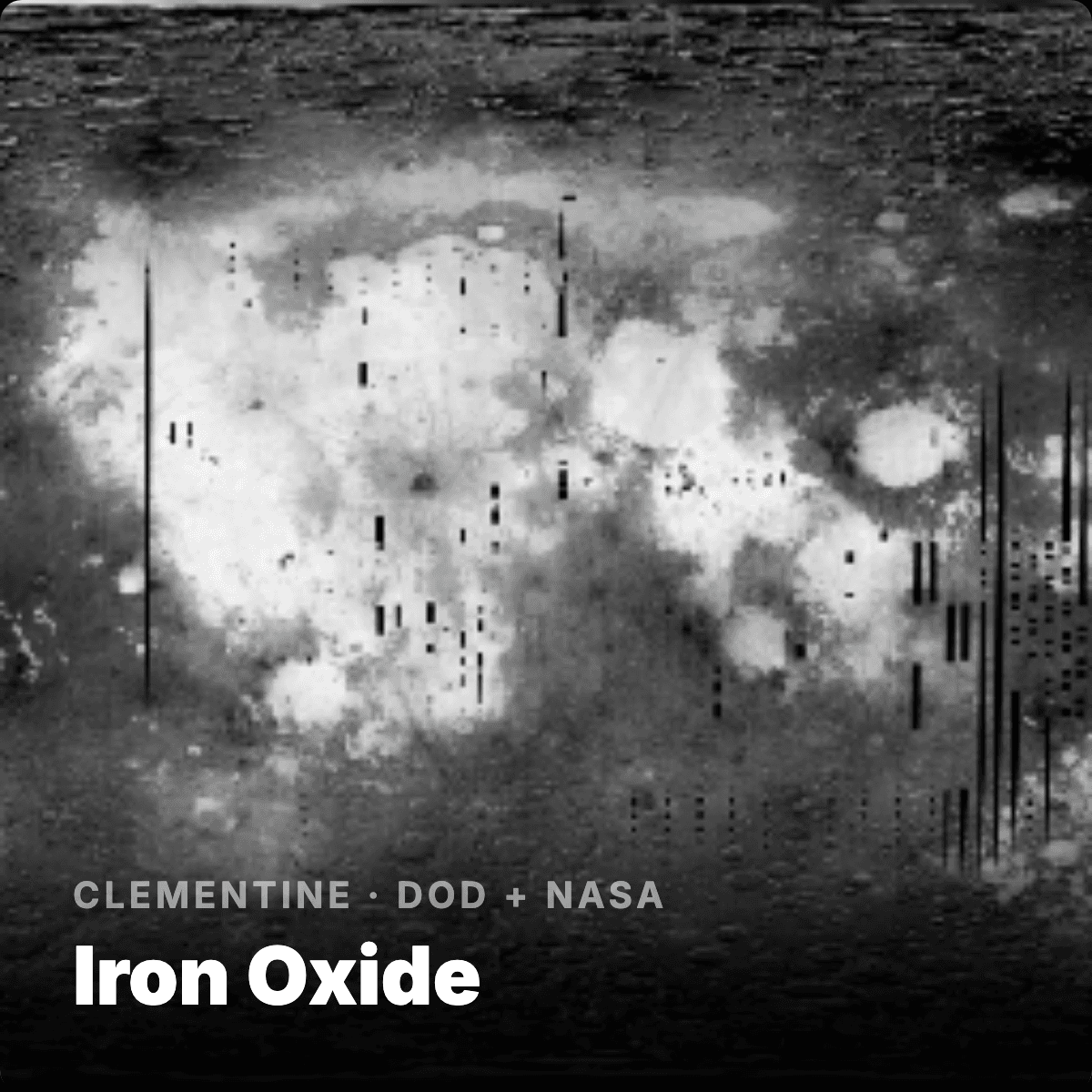
Iron Oxide
The platform in action
Lunar intelligence, working now
Watch the platform fly to the lunar south pole, analyse permanently shadowed regions, and score candidate habitat sites around Shackleton Crater.
Mission-aware scoring
The platform adapts to match your mission
Different missions weight the same data differently. The platform scores every cell using multiple data layers, weighted to your mission objectives and priorities. A habitat mission and a water-ice extraction mission look at the same surface but need fundamentally different answers.
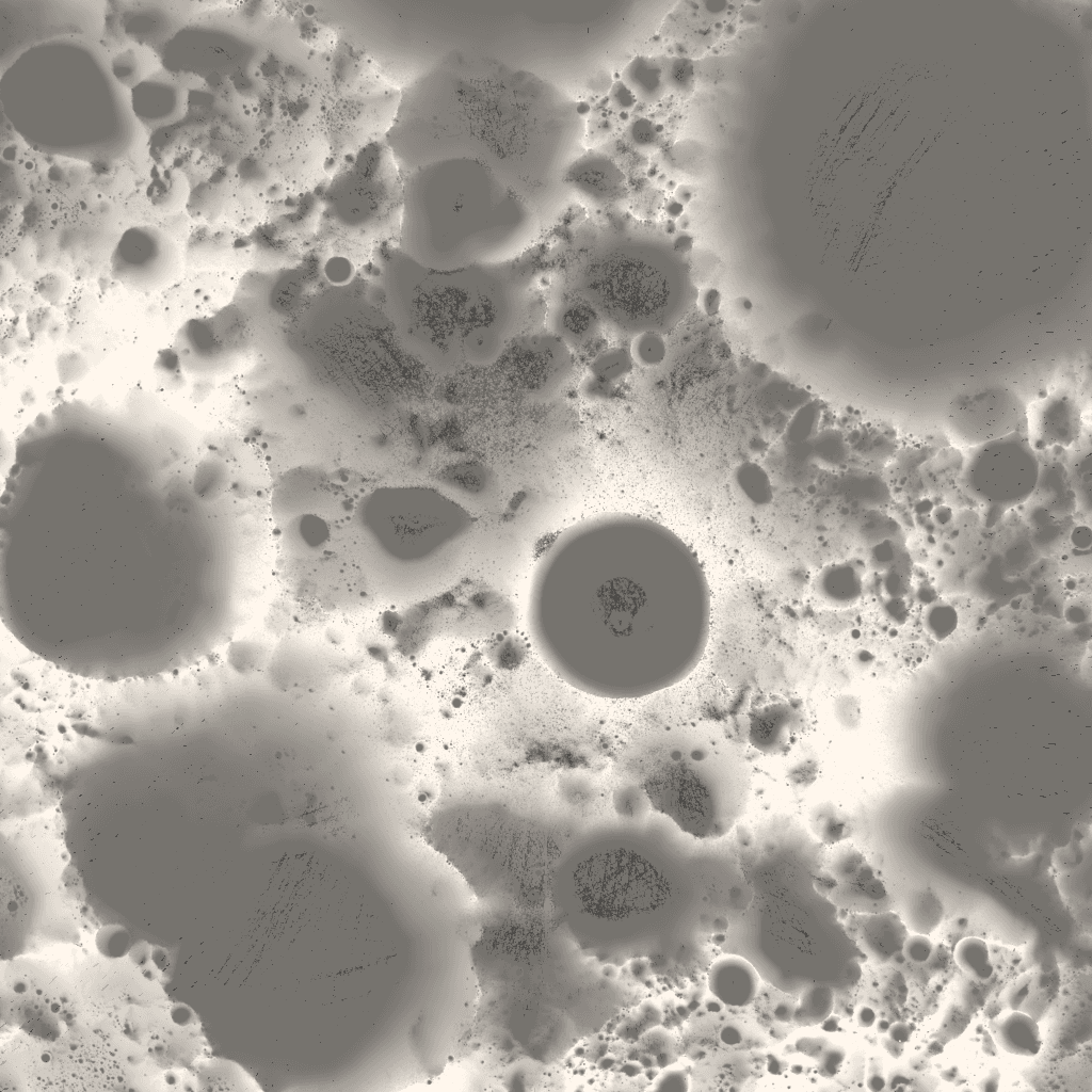
Long-term average of the time a surface point receives direct sunlight. Higher means more reliable solar power.
Source: LRO LOLA, 60m (Mazarico et al. 2011)
Surface steepness from laser altimetry. Below ~10° is generally landable for robotic landers; below ~15° traversable for rovers.
Source: LRO LOLA, 40m
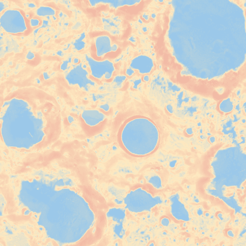
Annual temperature swing (T_max − T_min) derived from Diviner. Narrow swings mean easier thermal management for equipment.
Source: LRO Diviner, 240m
Altitude variation at 40 m scale. Smoother terrain is safer for landing and rover traverse.
Source: LRO LOLA, 40m (Rosenburg et al. 2011)

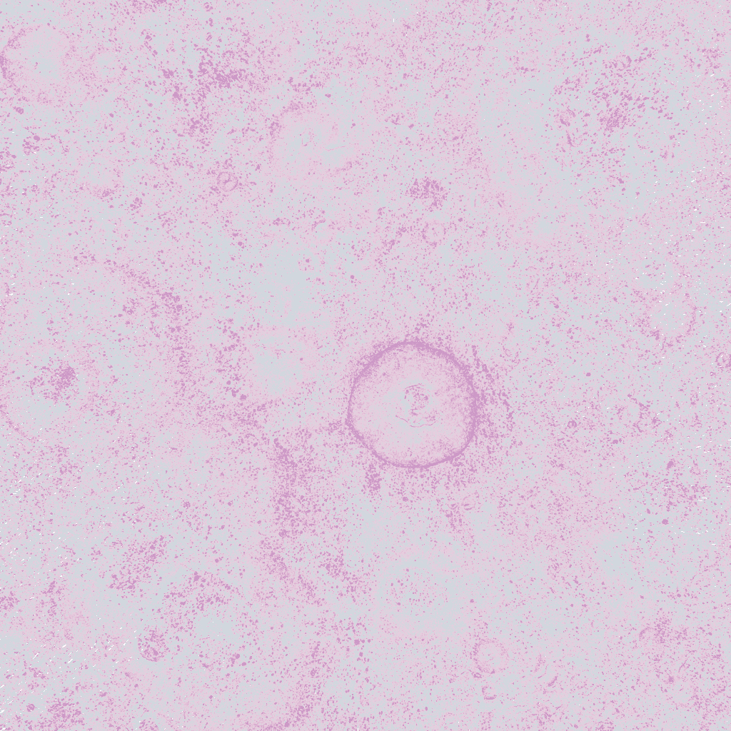
Areas that never receive sunlight. Water ice is thermally stable here. Primary ISRU targets.
Source: LOLA-derived, 20m
Previews shown over Shackleton Crater. Example data from NASA Planetary Data System (PDS).
Better questions, better missions
The intelligence layer for space resources
Ask questions that no single dataset could answer. When every data layer lives on the same grid, at the same resolution, with confidence attached, new kinds of questions open up. Better questions lead to better site selection, better resource prospecting, and better missions.
“Where can I land, reach water, and keep power within 2 km?”
“Where is the most accessible water ice?”
“What will this site look like in 2032?”
“Where do we place telecoms relays for continuous line-of-sight across the south pole?”
“Where is a reactor safe but close enough to power the base?”
“What's the best route between the pad, habitat, mine, and power station?”
“What do we know about Shackleton, and what don't we?”
“What should we measure next at this site?”
“What gaps in our data would change our decision?”
How to work with Amelia
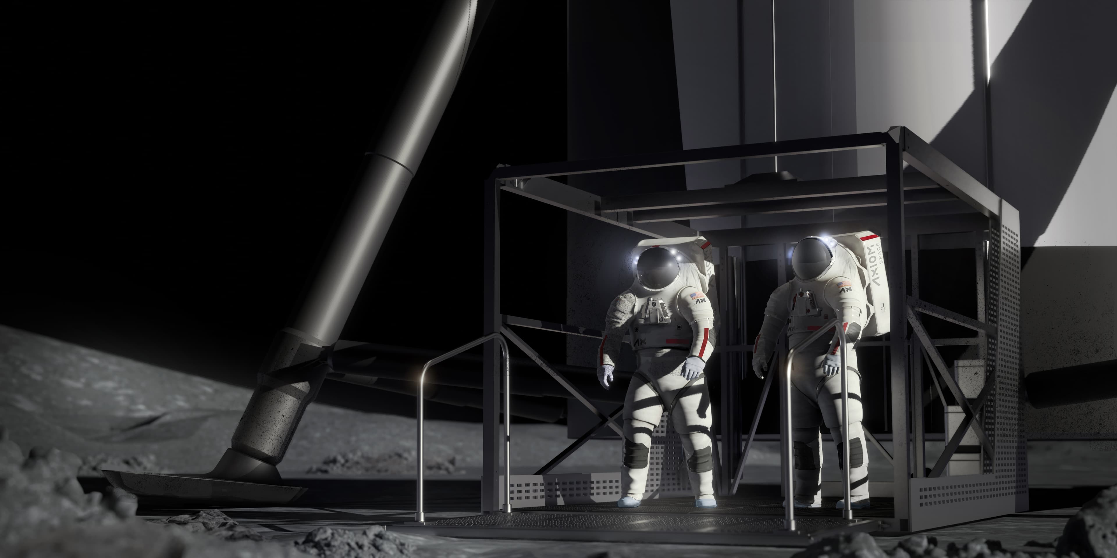
Towards a peaceful, sustainable, equitable space civilisation
Whether you are planning a surface mission, advancing lunar science, or building the standards and frameworks the industry needs, there is a way to work together.
- Site selection
- Landing feasibility
- Water ice prospecting
- Habitat siting
- Traverse planning

- Data fusion
- Surface modelling
- Uncertainty quantification
- Co-registered layers
- Resource mapping
- Coordinate existing missions
- Target polar volatiles
- Establish standards
- Cross-agency integration
- Shared framework
Common questions
Quick answers
The platform fuses data relevant to water ice prospecting (neutron, thermal, radar), mineral and regolith composition (optical, infrared spectroscopy), terrain and slope analysis (altimetry), and illumination conditions (shadow modelling). These feed into habitat siting, landing site selection, and resource prospecting workflows.
The current pipeline ingests data from LRO (Diviner thermal, LOLA altimetry, LROC NAC optical, Mini-RF S-band SAR, LEND neutron), Chandrayaan-2 DFSAR and IIRS, and KPLO ShadowCam and PolCam, with in-situ reference data from Chang'e and Chandrayaan-3 missions. Archives are sourced from NASA PDS, ISRO PRADAN, and KASI. The instrument list is expanding as new data becomes available.
Since the 1960s, 140+ missions have sent over 300 scientific instruments to the Moon. Different instruments have different resolutions, spatial coverage, and measurement types. Amelia co-registers its data sources onto a common polar-stereographic grid, preserving each instrument at its native resolution. The result is a unified map where optical, radar, neutron, thermal, and altimetry data can be queried together. This integration is what the space resources community has identified as the single biggest gap.
We are in the early stages of prospecting and exploring. Amelia operates at the Prospect and Explore stages, before drilling, mining, or processing. The platform turns fragmented remote sensing archives into resource intelligence that guides where to explore next, which sites to prioritise, and what to expect on the ground. Think of it as the intelligence layer that de-risks everything downstream.
Scores are designed to ship with conformal prediction bands. Conformal prediction is distribution-free: bands are calibrated against held-out in-situ measurements where available, so stated coverage holds without strong modelling assumptions. Uncertainty is a first-class output, not an afterthought.
All primary data sources are open archives: NASA PDS, ISRO PRADAN, and KASI public releases. Every reading on the platform traces to a specific raster in a specific archive, with the citation visible on the cell.
PSRs are areas near the lunar poles, primarily inside deep craters, that never receive direct sunlight. Temperatures can drop below 110 K, cold enough to trap water ice and other volatiles for billions of years. They are the primary targets for water ice prospecting, but their darkness makes them some of the hardest places to characterise from orbit. Amelia fuses radar, neutron, and ShadowCam data to build a more complete picture of these regions.
Current coverage is the lunar south pole in polar-stereographic projection. The finest supported resolution is 0.5 m from LROC NAC optical. Coarser instruments (Diviner thermal, LEND neutron, Mini-RF radar) are co-registered onto the same grid at their native resolutions.
The platform enables questions that no single dataset can answer on its own. Where is the most accessible water ice? Where do we build telecommunications infrastructure for continuous line-of-sight? Where can I land, reach water, and keep power within 2 km? What gaps in our data would change our decision? By fusing every data layer onto the same grid with confidence attached, these cross-cutting questions become answerable.